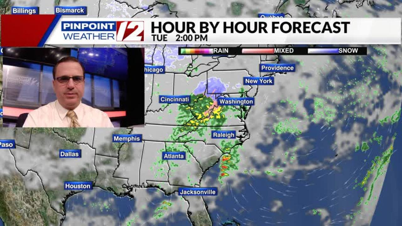
We have another cool day ahead, followed by a chilly rain tonight. While Southeastern New England stays wet, higher elevations of central, western and northern New England are preparing for their first round of snow and ice this season. A Winter Weather Advisory has been issued for those areas. More on this in a moment. As for today, skies stay dry with cooler than normal temperatures and light winds. Clouds will thicken this afternoon with highs in the mid 40s Hour by Hour // A look at the next hours’ conditions » ON THE BAY: North winds turn to the northeast at 5-10 kts. Ocean, Bay Beach // A look at the conditions by the coast » Skies remain dry for the evening commute, with a chilly rain developing after 9PM. Rain may briefly mix with some wet snowflakes in the higher elevations of northwest RI — Burrillville, Foster, Glocester, etc– but there will be no accumulation as the pavement and the air temperatures stay above freezing. Temperatures will continue to rise as the night goes on, eventually climbing into the 40s to near 50, with widespread rain and drizzle. Rain lasts through mid-day on Wednesday, with drier skies for the rest of the afternoon and evening. Rainfall totals from this system will range from 1/2″ to 1″. Snowfall totals in central, western and northern New England will be “elevation dependent”. The best chance for accumulating snow and ice will be in higher elevations. A coating of snow is expected in Worcester and Hartford, with a couple of inches possible in the Berkshires. Ski areas in northern VT and NH could get more than 6″ of snow. Pinpoint Weather 12 LinksDetailed 7-Day Forecast | Weather Now | …
Quadruple amputee cornhole player accused of shooting, killing man in Maryland A professional cornhole player is behind bars after he allegedly shot...