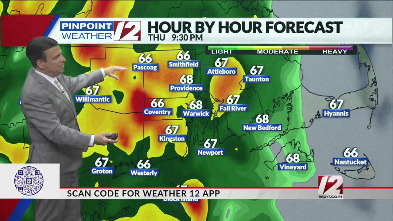
Good Thursday Morning We are tracking a Weather Alert for Thursday, mainly for late afternoon and especially Thursday Night. Rain, heavy at times along with strong wind gusts and isolated thunderstorms Thursday through dawn Friday Hour by Hour // A look at the next hours’ conditions » Ocean, Bay & Beach // A look at the conditions by the coast » SHOWERS, GUSTY WINDS THURSDAY PM THROUGH DAWN FRIDAY Big weather changes Thursday as a strong cold front approaches with rain, wind and thunder. Mostly cloudy, windy, and mild. Scattered showers are likely, becoming heavier and more widespread towards evening. Highs in the upper 60s to near 70. South-southeast winds 15-25mph with gusts 30-40mph THURSDAY MORNING 8:00AM THURSDAY AFTERNOON 1:00PM THURSDAY EVENING 4:00PM Rain becomes widespread and heavy at times by early evening and overnight with an isolated thunderstorm possible. Southerly winds increase to 15-25mph with gusts 30-50 mph. Those winds will likely bring down some leaves and could lead to isolated wind damage. Temperatures stay warm, holding in the 60s. THURSDAY NIGHT 11:00PM By Friday morning, the rain will be winding down from west to east with gradual clearing later in the day. Friday evening and night look dry. RAINFALL FORECAST THURSDAY INTO FRIDAY MORNING Rainfall totals will range from 1.5-2.5″ with peak gusts up to 35-45mph. Some localized street flooding is expected WIND GUST FORECAST: THURSDAY EVE. AND NIGHT SMALL CRAFT ADVISORY WILL LIKELY GET UPGRADED TO GALE WARNING BY EVENING Pinpoint Weather 12 LinksDetailed 7-Day Forecast | Weather Now | Radar | Hour-by-Hour | Ocean, Bay & Beach | Pinpoint Traffic | Flight Tracker | Severe Weather …
Providence sports bar temporarily closed after disturbance Woman dies in Pawtucket stabbing Cranston police officer arrested on DUI charge in Coventry...